
Get trusted hazard and event data through SpatialKey without managing fragmented vendors and integrations
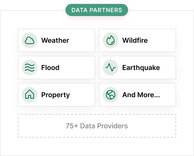
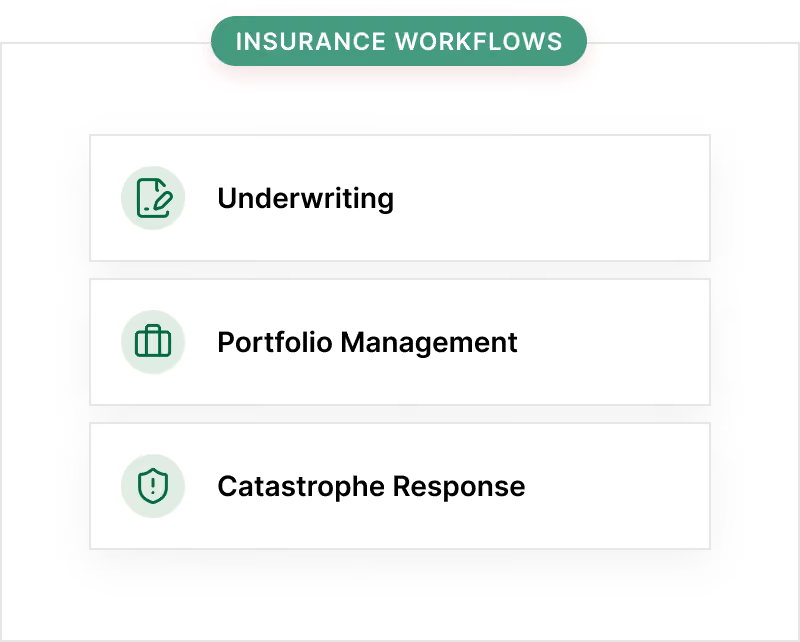
Access a comprehensive ecosystem of 70+ trusted property, hazard, and weather data providers through SpatialKey. Bring critical risk intelligence into underwriting, portfolio management, and claims response without managing multiple tools, vendors, or custom integrations.



Outmaneuver every catastrophe with our newest partners
SpatialKey brings premier data partners together to give insurers visibility across property, hazard, and weather exposures. Evaluate your portfolio and respond to catastrophic events faster with richer data in one place.


Explore SpatialKey’s data partner ecosystem
Browse property, hazard, and weather data providers available through SpatialKey. Filter by provider type and coverage area to find sources relevant to your underwriting, portfolio, and claims response needs.










No partners match your current filters.
More hazard data should not mean more operational complexity
Insurers need timely hazard and event data to understand risk and respond quickly.
SpatialKey simplifies access by bringing trusted provider data into one analytics environment, reducing the burden of separate vendors, formats, tools, and integrations.

Reduce dependency on disconnected vendor portals

Minimize manual data preparation and oversight

Bring external hazard intelligence into existing insurance workflows

Support faster decisions before, during, and after major events

Data delivered where insurance decisions happen
SpatialKey turns external hazard and event data into actionable insight by standardizing access through Insurity's analytics platform.
Connect to trusted data sources
Insurity brings together hazard and event data from a broad ecosystem of partners.
Standardize and operationalize
Data is made available through Insurity analytics products, removing custom integration work.
Act across insurance workflows
Use the data to support underwriting, portfolio monitoring, exposure management, and CAT response.
Book a demo
Ready to see SpatialKey in action? Step inside the platform with a demo tailored to your business priorities.



Interested in becoming a data partner?
If your organization provides data that supports insurance decision making with hazard, event, or property data, we'd love to hear from you.